


Explore Downriver Historical Markers
Story by Ken Welsch
If you’re a history buff, this story is for you! Learn more about the historical markers that are placed throughout the Downriver area!
Michigan History is Alive and Well Downriver
Once you fall into the habit of spotting those green-and-bronze steel historical markers, they’re difficult to miss. They’re part of the Michigan Historical Marker program, and there are nearly 2,000 of them scattered around the state. Downriver is home to 26.
The program launched in 1955, and local history joined three years later when markers were added for America’s First Bessemer Steel Mill in Wyandotte at the Battle of Brownstown in Gibraltar. In the decades since, markers have been added to remember sites, people and occurrences that have helped shape the Downriver we know today.
If you visit all 26 Downriver sites, you’ll come across recognizable names such as Henry Ford, Albert Kahn, William Macomb and Chief Pontiac. You’ll also learn the fascinating stories of lesser-known names such as Abel Aspinwall, Elizabeth (Lisette) Denison Forth, Fredericka Franke, and Barney Letogot.
This story will help guide you to all 26 of the markers, but for a short cut, visit the Michigan Department of Natural Resource’s interactive map for precise historical marker location.
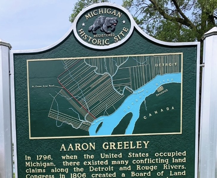 Aaron Greeley / St. Cosme Line Road: Allen Park
Revisit the days when the Downriver area was dominated by “ribbon farms” and Southfield Road was known by locals as St. Cosme Line Road. The marker is located in Allen Park’s Cunningham Park.
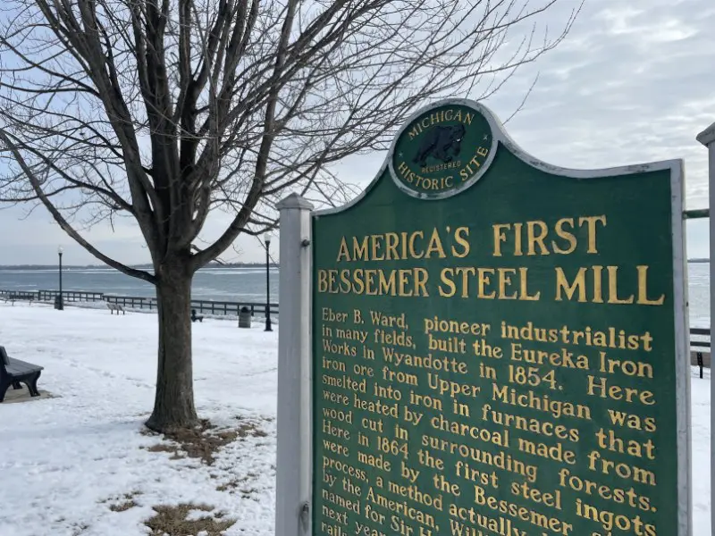
America’s First Bessemer Steel Mill: Wyandotte
The Bessemer steel process revolutionized the steel industry, and Wyandotte played a major role in writing that story. Read more about Eureka Iron Works of the mid- to late-1800s when you track down the marker in Bishop Park near the shores of the Detroit River.
Angus Keith House: Grosse Ile
One of the original island-born steamship captains, Angus Keith is remembered with an historical marker located on Grosse Ile’s East River Road at the property he purchased in 1850.
Battle of Brownstown: Gibraltar
A brutal battle between American forces and the Shawnee tribe during the War of 1812 took place in Gibraltar. Look for the marker near the entrance into Lake Erie Metropark just off S. Gibraltar Road.
Colonel Brodhead’s Office: Grosse Ile
The home is gone, but the small stone office remains. Check out the office of the one-time part-owner of the Detroit Free Press, state senator, and Detroit postmaster on East River Road near the current home of the Grosse Ile Historical Society.
Cornelius G. Munger General Store: Flat Rock
Moved from its original location near the intersection of present-day Telegraph and Huron roads, this historical site harkens back to the late 1800s, when Munger’s offered the first public pay phone between Detroit and Toledo.
Council Point / Pontiac’s Council: Lincoln Park
Members of the Native American Odawa, Potawatomi, Wyandot, Huron and Ojibwe tribes gathered in what we now call Council Point Park to hear Chief Pontiac’s plan to resist British forces.
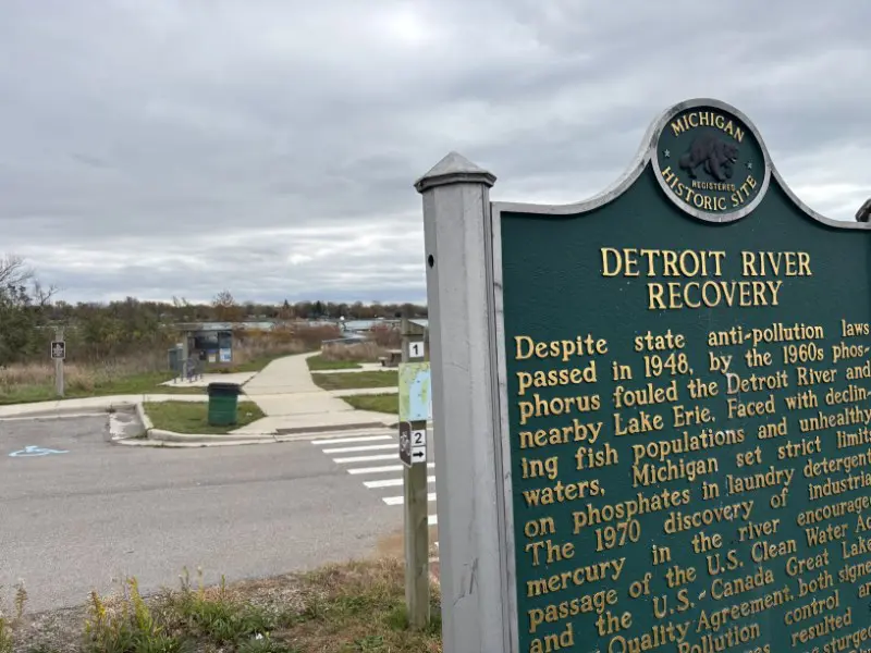 The Detroit River / The Detroit River Recovery: Trenton
If you’re going to celebrate decades of undoing the environmentally damaging business practices of the early 1900s in America, there’s no better place to plant an historical marker than at the Detroit River International Wildlife Refuge.
Eighteenth-Century Grist Mill Site: Grosse Ile
Read about life on Grosse Ile more than two centuries ago, when a horse-driven gristmill lived north of Horsemill Road from 1787 to 1840. It was built by William Macomb, for whom the island’s main business strip is currently named.
Ford Motor Company Lamp Factory: Flat Rock
Today they crank out Ford Mustangs in Flat Rock. But between 1923 and 1938, Ford manufactured 52 million lamp assemblies at the Ford Motor Company Lamp Factory on the shores of the Huron River.
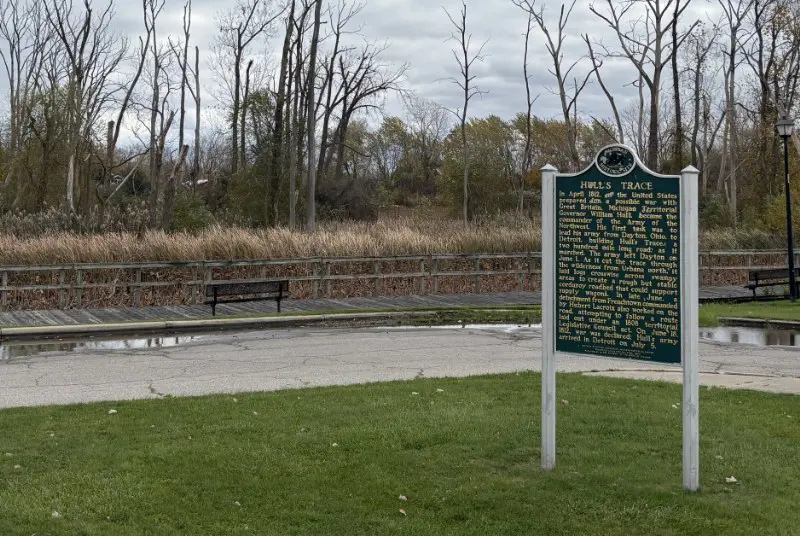 Hull’s Trace: Brownstown Twp.
Before there was I-75, even before there was W. Jefferson Avenue, there was Hull’s Trace. The 200-mile-long “corduroy” road used logs laid over swampy areas to help American forces led by U.S. Army Commander William Hull get from Dayton, Ohio to Detroit.
Lincoln Park Post Office: Lincoln Park
Today’s Lincoln Park Historical Society & Museum lives in the former Lincoln Post Office, and building itself is one of the museum’s most significant displays. Located on Southfield Road near Fort Street, it’s one of the more visible Michigan Historical Markers Downriver.
Mansion House & Survey Tree: Grosse Ile
On the island’s eastern shore, find a historical marker that tells of a tree that once provided an identification point for surveying and a home that once hosted a meeting between Michigan Governor William Hull and British Lieutenant Colonel James Grant.
Michigan Alkali Company: Wyandotte
Company founder Captain John Baptiste Ford established the Michigan Alkali Company on the shores of the Detroit River in Wyandotte to take advantage of natural resources such as the salt-rich ground.
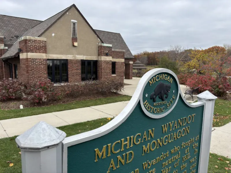 Michigan Wyandot and Monguagon / Battle of Monguagon: Trenton
Another marker commemorating a battle of the War of 1812 stands at the entrance into Elizabeth Park off West Jefferson Avenue. American soldiers battled with troops from the British and Michigan Wyandot tribes.
Military Outpost, 1815-1817: Grosse Ile
On modern-day East River Road, south of Bellevue Road, the U.S. Army once maintained a post garrisoned by detachments of the Fifth Infantry Regiment following the War of 1812 to protect island residents against enemy raids.
 Oak Grove Burying Ground: Taylor
One of four cemeteries in Taylor designated as state historical sites in 2000, Oak Grove is the resting ground for various prominent pioneer families. The first burial at Oak Grove took place in 1838.
Pointe Mouillee Marsh: Rockwood
Long before the Michigan Department of Conservation purchased the land in 1945, Pointe Mouillee attracted Woodland Indians for its abundant wildlife and natural resources. French fur traders later gave it the name it still wears today, a name that means “wet point.”
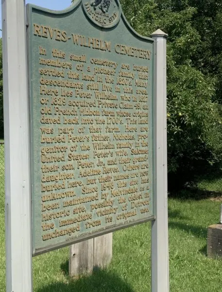
Reves-Wilhelm Cemetery: Melvindale
Buried in the small cemetery in the heart of Melvindale are members of a pioneer family that settled the area in the 1820s. The land was part of the ribbon farm purchased by Peter Wilhelm in the early 1820s.
The Rucker-Stanton House: Grosse Ile
Built in 1848, this vernacular home was built by John A. Rucker, great-grandson of William Macomb. Rucker’s cousin Robert Lee Stanton bought it in the late 1800s. It remained owned and occupied by descendents of the family for more than 100 years.
Sandhill Cemetery: Taylor
Be careful tracking down this historical marker, tucked in the trees off northbound Telegraph Road near the ramp to I-75. Some of Taylor’s earliest pioneers are buried here, including members of the Weels family.
St. Anne Church / St. Anne Chapel: Grosse Ile
Moved from its original location at Thorofare and Church roads, this building was the island’s first school before becoming a Catholic church. It was first called Sacred Heart Church and renamed St. Anne when Sacred Heart built a new church in 1969.
 St. James Episcopal Church: Grosse Ile
Added to the state historical marker program in 2025, St. James Episcopal Church was built with the life savings of self-liberated former slave Elizabeth (Lisette) Denison Forth in 1867. Her gift was matched by her employers, William S. and James Biddle.
State Police Post: Rockwood
This building became the first standardized state police post in 1930, chosen for its proximity to Detroit and the Canadian border. The village of Rockwood purchased it in 1941 when the post was decommissioned.
Taylor Methodist Episcopal Church Cemetery: Taylor
The first church in Taylor Township dates back to 1882. The cemetery was platted two years later, and includes more than 3,200 graves, including more than 100 from the 19th Century, as well as Peter Coan, Taylor’s first landowner of European descent.
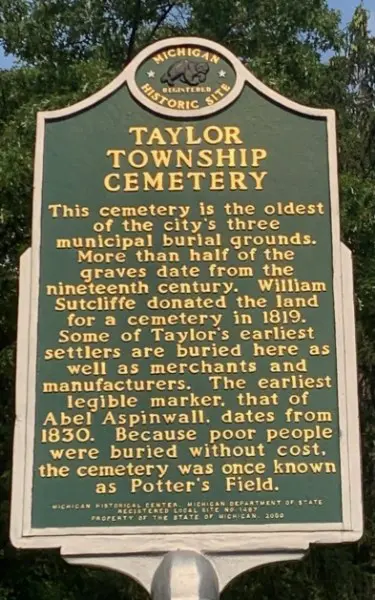
Taylor Township Cemetery: Taylor
More than half of the graves at Taylor Township Cemetery date from the 19th Century, including some of the city’s earliest settlers. The earliest legible marker is that of Abel Aspinwall and is dated 1830.